Anelli sull'Alaco Trail
What is our perception of Nature? Over the centuries, the answer to this question has influenced man’s relationship with his surroundings.
This route will allow us to reflect on this relationship and its evolution.
Trail Info
MUNICIPALITIES: San Sostene (CZ)
START: Edifici di servizio Diga Alacolato ovest, San Sostene (CZ)
END: Edifici di servizio Diga Alacolato est, San Sostene (CZ)
TIME: about 3 h for path A, about 6 h for path B
DISTANCE: 8 Km tramo A, 12 Km tramo B
DIFFERENCE IN ALTITUDE: 224 m
MAXIMUM QUOTE: 1.222 m
MINIMUM QUOTE: 876 m
DIFFICULTY: medium-high
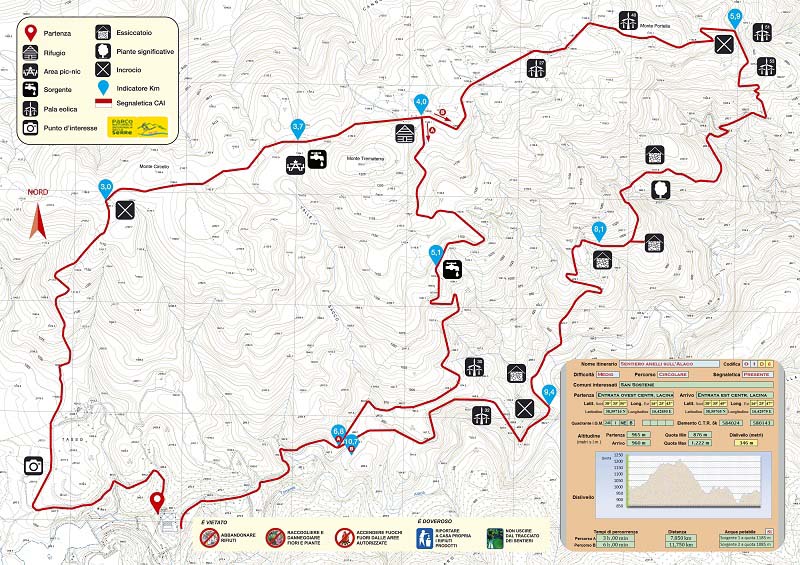
Descrizione
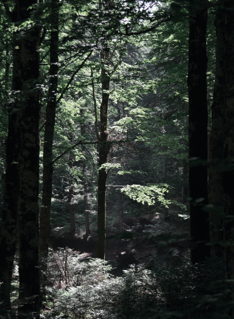
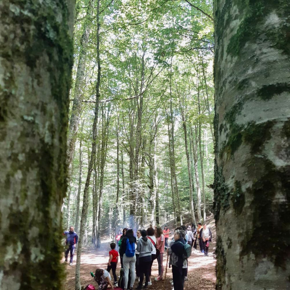
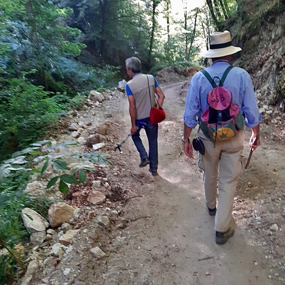
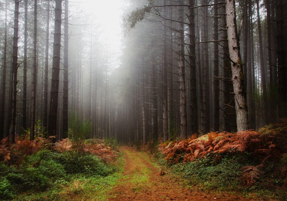
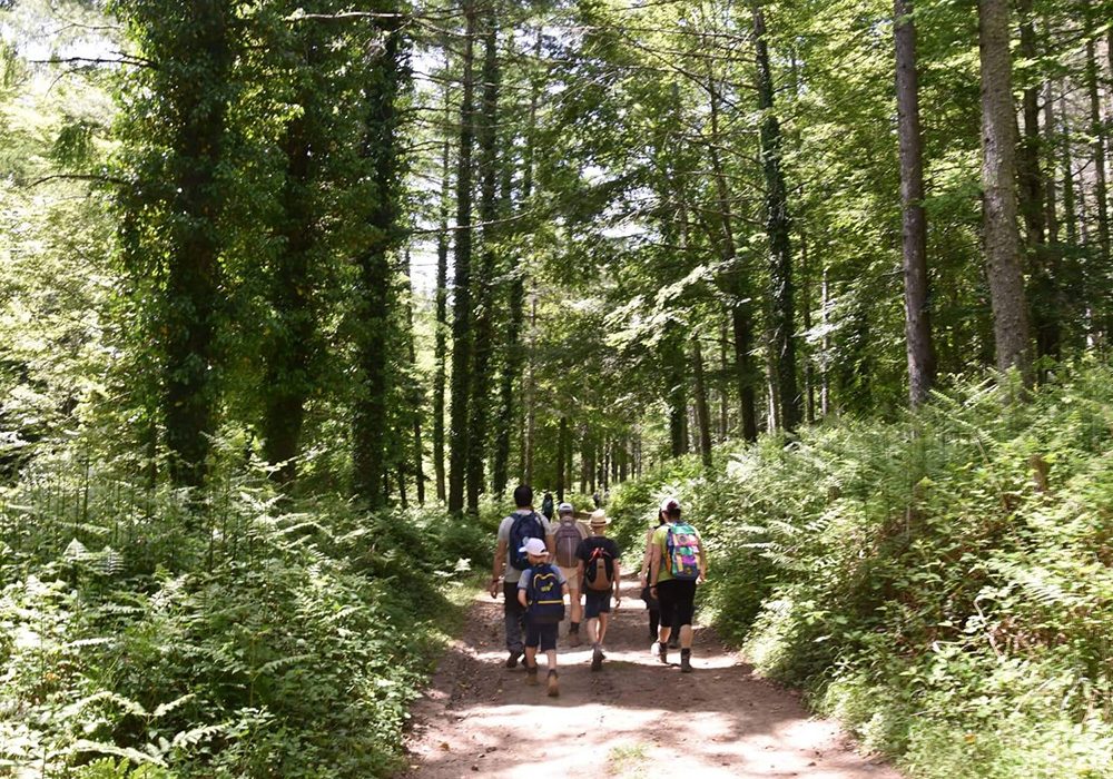
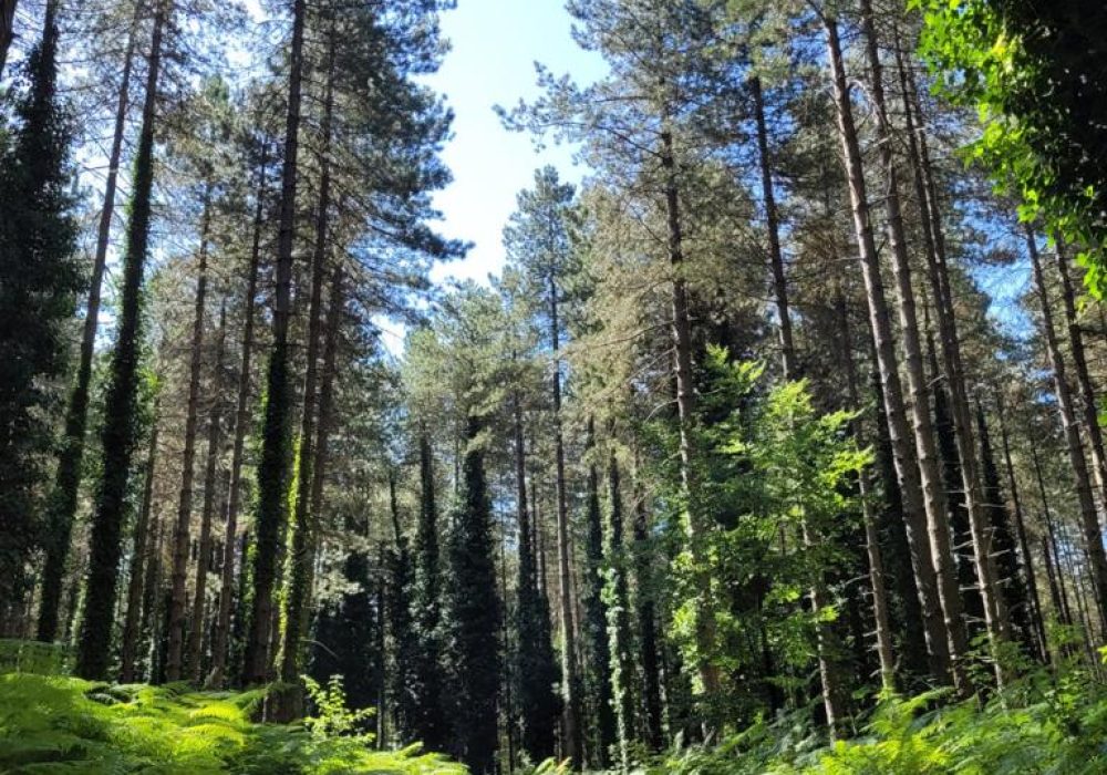
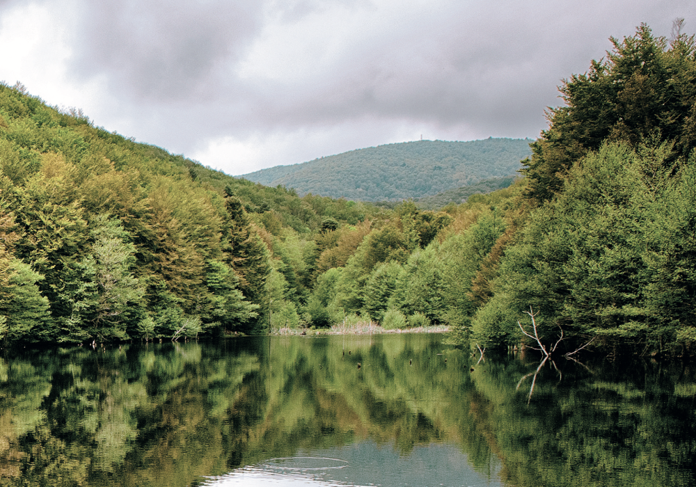
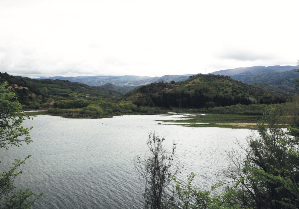
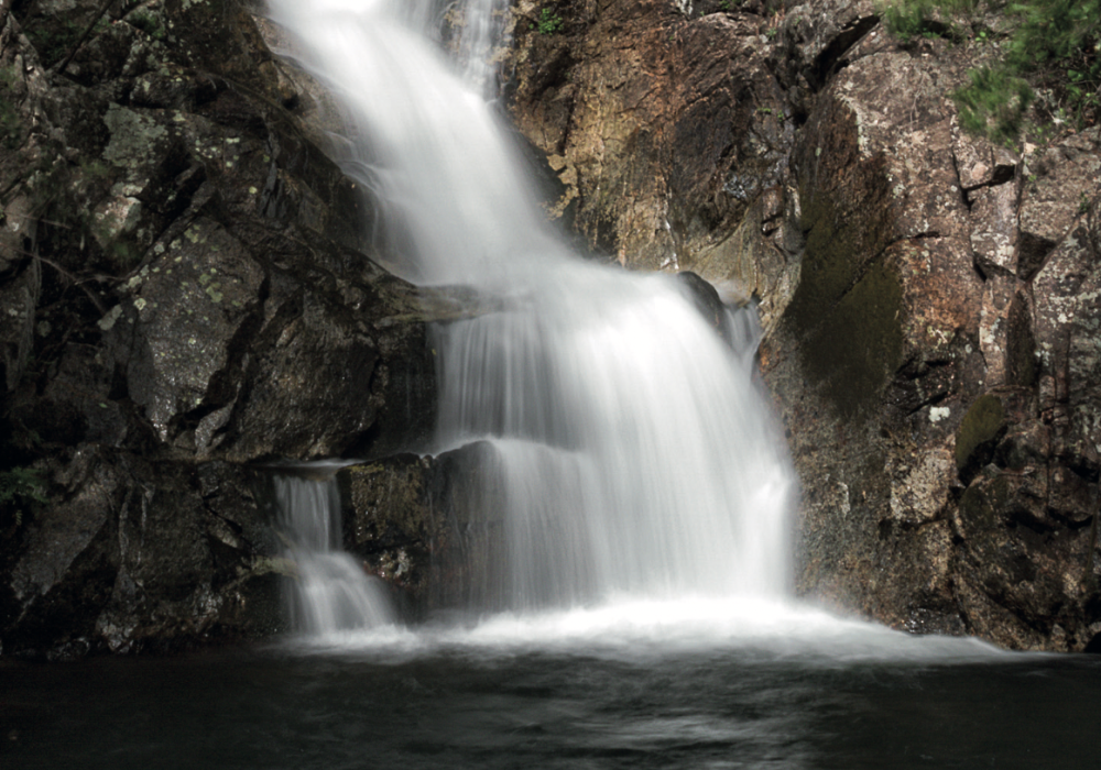
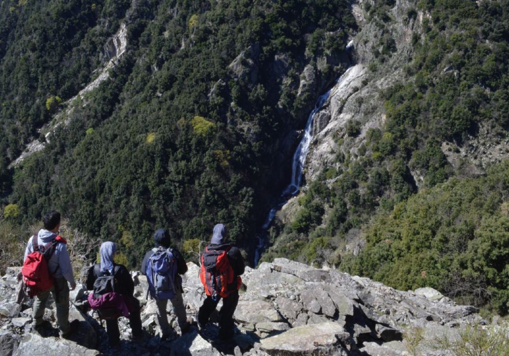
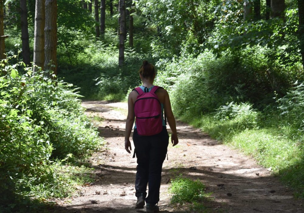
A demanding, circular trail that offers two possible solutions on the return leg, one of 3.8 km (route A) and the other of 7.7 km (route B). We reach the “Lacina” basin by taking the SP 43 road from Brognaturo (VV). Having passed a residence and a sports hall on the right, we turn left at the crossroads that will lead us towards the dam and reach its service buildings located at the end of the asphalt road. We take the road to the left of the buildings and leave the car at the west entrance. The dirt trail begins just behind these buildings. We begin our walk up the small road with a natural surface and, at the first fork, we turn left towards the Lacina basin. At the next fork, we continue to the right up the lane that runs alongside the lake fence. A demanding section begins, completely uphill through a pine forest first, then a mixed beech and fir forest. In about 40 minutes, we reach an asphalt road just below Monte Circello, which defines a T-junction with our direction of travel. We continue to the right and in about 20 minutes we arrive at a picnic area with a fountain where we can stop. Having resumed the path, we can opt for two possible solutions for the return journey.
Short path A
Anello Monte Trematerra
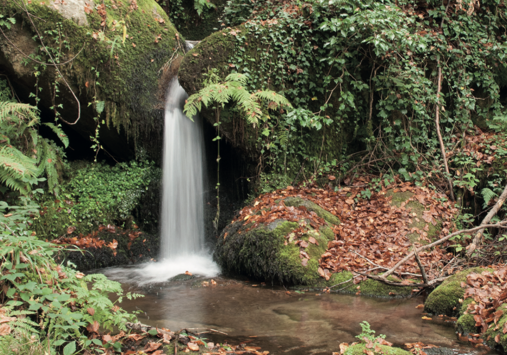
After a short stretch, just 5 minutes from the fountain, we can see a small barracks on the right among the pines. Immediately after a crossroads, from which a return road starts on the right, now with a natural surface, which descends with several hairpin bends, reconnecting with another dirt track. Having reached a clearing, we take the dirt track to the right among the beech trees and, continuing on, the road becomes a path that runs alongside what were once cultivated fields. We walk the last few kilometres back to the eastern side of the dam buildings.
Long path B
Anello Monte Portella
Following the road, just 15 minutes from the picnic area, the third crossroads on the right, we take the first dirt track. A ridge trail begins on Mount Portella, which will offer us splendid views of the south side of the village of San Sostene and to the east of Mounts Farina and Lia. The path, first in the pine forest and then among chestnut trees, will be mostly downhill and will rejoin section A at the clearing from which the path starts, skirting areas that are now uncultivated and that will take us back to the east side of the dam buildings.
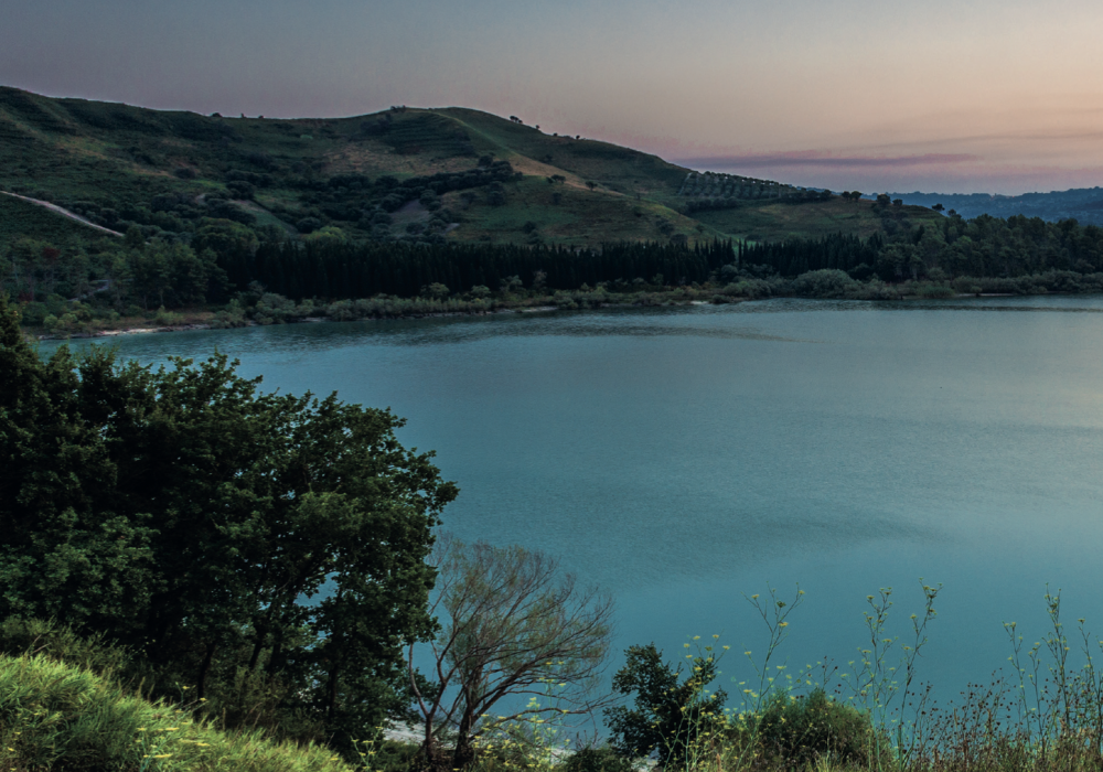
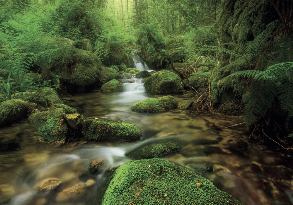
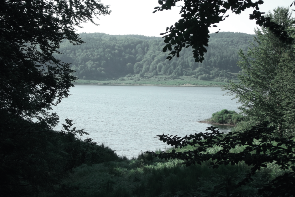
A SITE OF COMMUNITY IMPORTANCE: LACINA
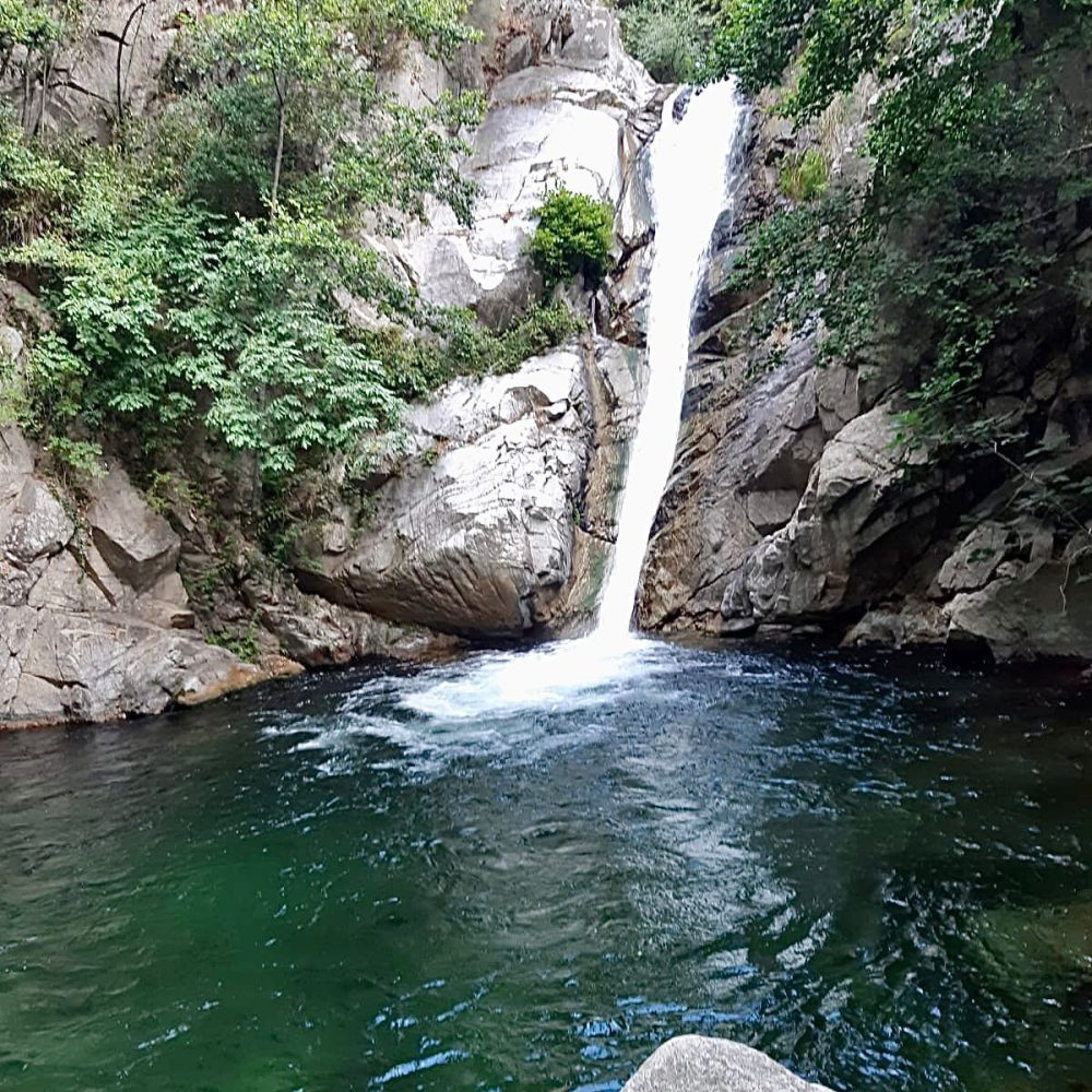
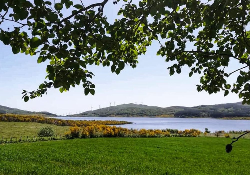
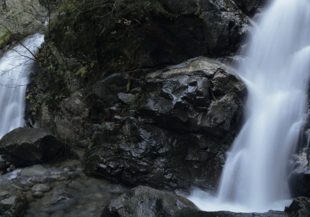
At the start of the route, after just one kilometre up the slope of the valley, a beautiful view of the Lacina basin with its lake opens up before us. This habitat-rich place is one of the SCIs of the Serre Park as it is one of the few southern mountain wetlands with a high concentration of rare species, more than 300, with a relict range and a distribution limit, and of these about 26% are rare.
SPANISH BROOM OR CHARCOAL-BURNER'S BROOM
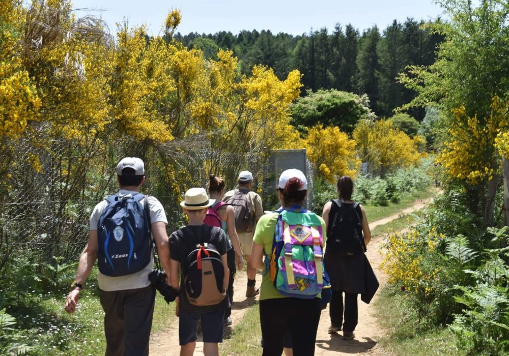
On our right, before the little road begins a steep climb and later, in section B of the return journey, the broom makes a fine show in large concentrations with the vital yellow of its flowers that sprout throughout the summer. The ecotype of Calabria is the Spanish or odorous broom, which is characterised by the rich and intense fragrance of its flowers, which are in great demand in perfumery. This species is the most resistant and is also the one that provides the best quality fibres, making it one of the main supports of the local economy for the Italo-Albanian communities in the past. Protagonist of the Corpus Domini feast for the beauty and abundance of its flowers, we find it in the ‘infiorate’ that cover the streets of many of our villages.
WIND AND ENERGY: WIND POWER
Pollution is one of the problems that weighs heavily on the entire planet with increasing insistence. For years we have been talking about alternative energy sources and this will be the occasion that will allow us to take a closer look at one of them. We are talking about wind energy, which with its white giants covers the ridge road along which we walk as well as many points on the horizon. Wind power is a renewable, clean source of energy that does not need to occupy large areas as well as allowing the economic revitalisation of otherwise marginalised areas. The wind farm on the Alaco alone is estimated to supply energy to around 70,000 households. The constant increase of such parks has the consequence of irreparably disfiguring our landscape in addition to the damage it does to birdlife due to the barrier effect that forces flocks to take longer turns during flights and takes away their territory.
In any case, supporters or detractors of such energy will not be able to remain indifferent to the impressive advance of this technology.
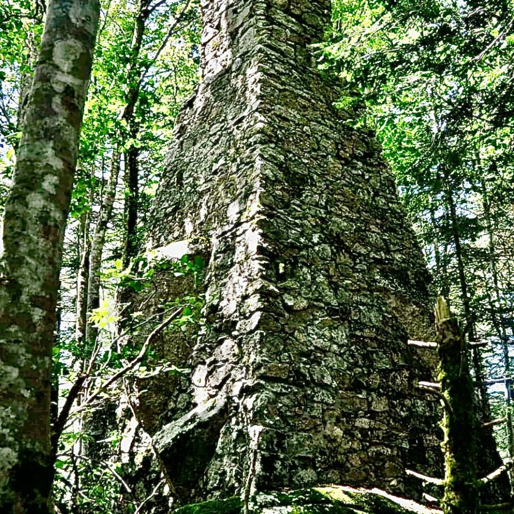
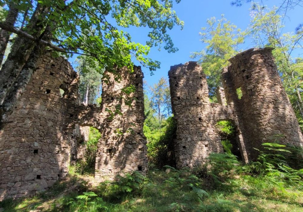
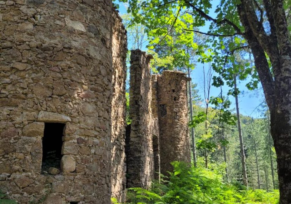
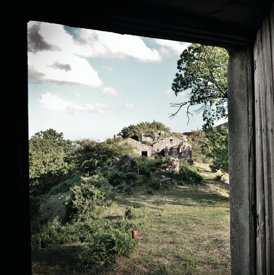
RURAL CONSTRUCTION: 'U PASTILLARO'
In the past, the chestnut tree was extremely important as a primary source of food for humans, livestock and wild animals. In so many parts of Calabria, the complex physical conditions of the land meant that the cultivation of chestnut trees developed to such a significant extent that it characterised the agricultural landscape and rural buildings themselves. Along section B of the return route, we will find examples of this construction in structures used in the past as drying houses: the ‘pastillari’.